
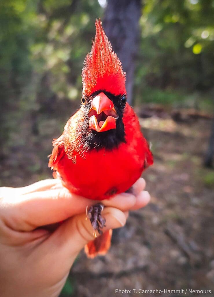
The Monitoring Avian Productivity and Survivorship (MAPS) program is a coordinated continent-wide effort to collect data on North American birds. Thousands of bird banding stations across the United States and Canada participate by following a standardized protocol and collecting details about the species, age, sex, and condition of all captured birds. Through the effort of many independently operated bird banding stations following the same collection protocol and submitting data to a central database managed by the Institute for Bird Populations, scientists can monitor long-term trends in bird populations and work to identify factors that may lead to changes in bird populations.
Starting in 2022, Nemours established a bird banding station to contribute to the MAPS program. MAPS stations use mist nets, which are practically invisible to birds, to safely capture birds in a designated study area. Experienced bird banders from Nemours Wildlife Foundation remove birds from nets and take them to a processing location where they place a uniquely numbered aluminum band on each bird’s leg and take various measurements before releasing the bird.
Note: Banders are trained and operate under special permits in order to handle wild birds. The safety of each and every bird is our priority, and we monitor the bird’s condition throughout the banding process.